SYS_ID: sustainable-forest-mobileMOBILE
Sustainable Forest Mobile
Adopted Tree GIS Monitoring & Forest Boundary Mobile App
// Technologies:
ReactReact NativeDrizzle ORMMapLibreSQLite / Hive
PROJECT SCREENSHOTS (16:9 HD)
[1 / 1]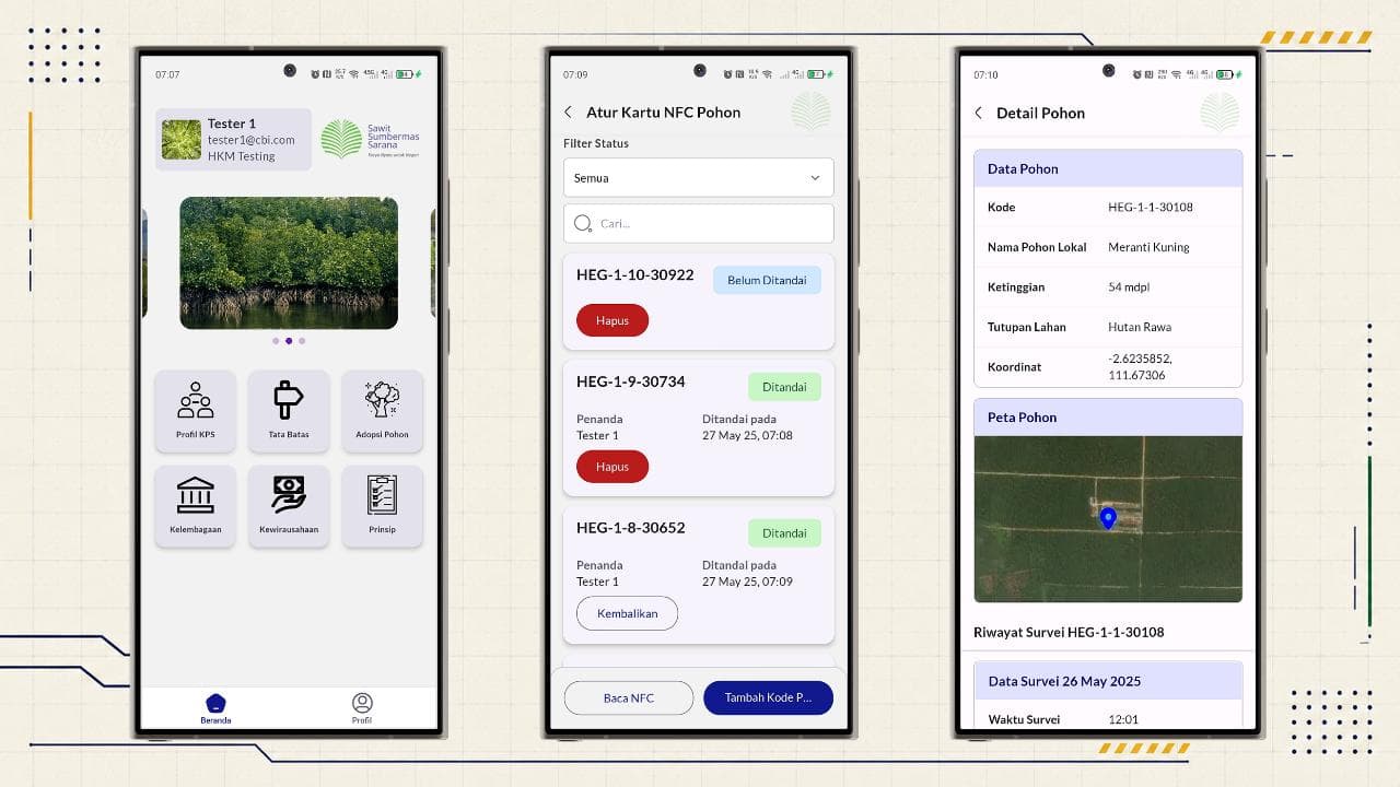
Overview
Mobile companion application for adopters and forest guardians to track adopted tree locations on interactive GIS maps and view forest plot boundary polygons.
// Role:
Mobile Developer & System Analyst
// Key Contributions:
- Built the mobile application from scratch as the full developer for the entire app, collaborating with the manager and lead staff.
- Crafted a modern interactive map-centric mobile UI/UX interface, incorporating continuous app updates requested by users.
- Analyzed forest plot monitoring requirements and built the Expo React Native mobile app.
- Engineered MapLibre React Native vector map integrations for forest plot boundary polygons and precision tree location tagging.
- Implemented spatial geo-viewport calculations, embedded Drizzle SQLite local caching, and in-app adoption certificate viewer.
Key Features
- 1Interactive GIS Map for Adopted Tree Locations
- 2Precision Coordinate Tracking for Forest Trees
- 3Conservation Forest Boundary Polygon Visualization
- 4In-App Tree Adoption Certificate Viewer
- 5Offline Vector Maps for Remote Forest Operations
System Architecture
// DEEP_TECH_SPECS & INTEGRATION
- >MapLibre React Native Vector Map Engine
- >React Native Paper UI Component Library & Theme Engine
- >Spatial Geo-Viewport Polygon & Boundary Calculation Engine
- >Expo React Native Framework with Redux Toolkit State Engine
- >Embedded Drizzle ORM for Local Mobile SQLite Caching
- >Gorhom Reanimated Bottom Sheet UX Component
- >Google Sign-In Native Authentication Integration
Screenshots & Visuals
VIEW 1